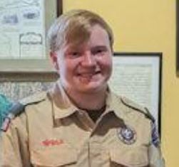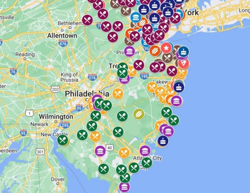
Maps have historically been a great way to tell stories about local history. Mr. Local History Project congratulates William (Liam) Murphy of Basking Ridge’s Patriots Path Council Boy Scout Troop 351, who created his interactive Basking Ridge Historical Marker Google Map. The map was part of his interest in local history leveraging the power of My Google Maps.
Note:
The Mr. Local History Project added boundaries of the six hamlets in Bernards Township for reference (Basking Ridge, Liberty Corner, Lyons, W. Millington, Franklin Corners and Madisonville.)
Liam worked with volunteers at his local historical society in Basking Ridge, New Jersey to develop the interactive map. If you’re in a position to offer such programs for young adults like Liam, feel free to contact us and we can show you how easy to set this type of program up.
Achieving the rank (of Eagle Scout) demonstrates your commitment to personal growth and leadership, showcasing your ability to set and achieve ambitious goals through perseverance and dedication. The rank provides me with the opportunity to make a lasting positive impact on the community, which I am very grateful to do.
William (Liam) Murphy of Basking Ridge, New Jersey
We congratulate Liam and urge anyone of any age to find new ways to share local history. My Google Maps is free for anyone to use. Mr. Local History has been using the technology for years, not only for site identification, but provides the ability to add context, images and directions.
Additional History Using Interactive Maps
The Mr. Local History Project has over 40 history stories about New Jersey that leverage Google interactive maps (and traditional maps) adding to Liams creation. Click Here to see over 40 stories including interactive maps just like Liam did!
