Join the quest to answer the question:
Follow along……
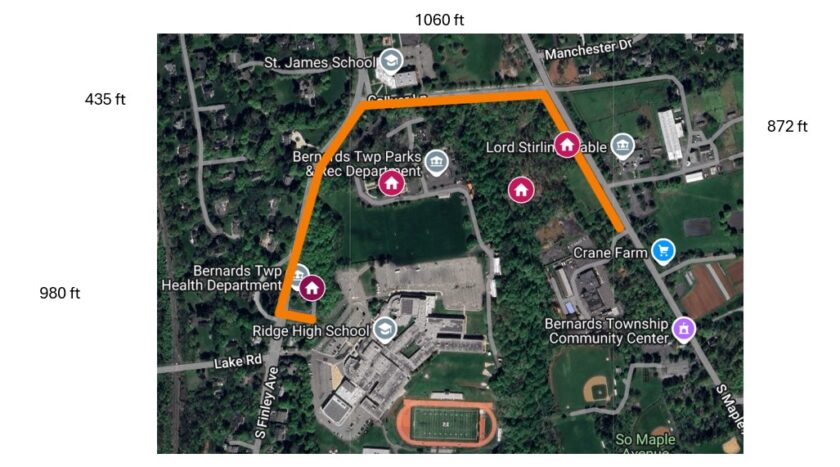
How many stones make up the Great Wall of Basking Ridge around the Bernards Township Municipal Complex?
As with all Mr. Local History retrospectives, this post is updated when we learn additional information. We will continue to expand it as information becomes available and our readers suggest additions.
Mr. Local History Research Team
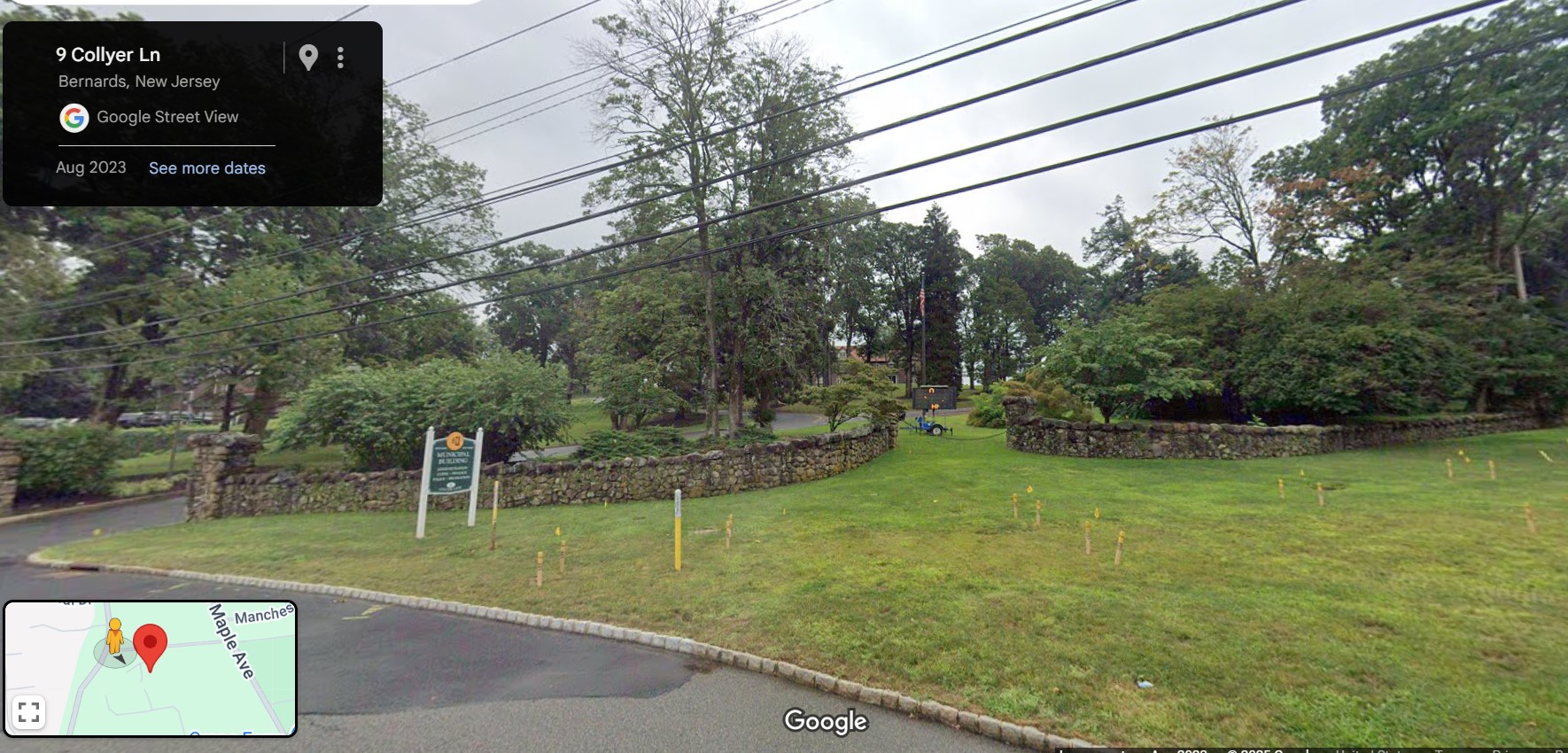
The Great Wall of Basking Ridge
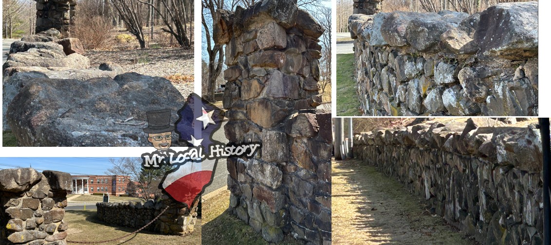
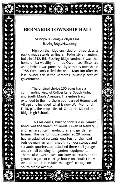
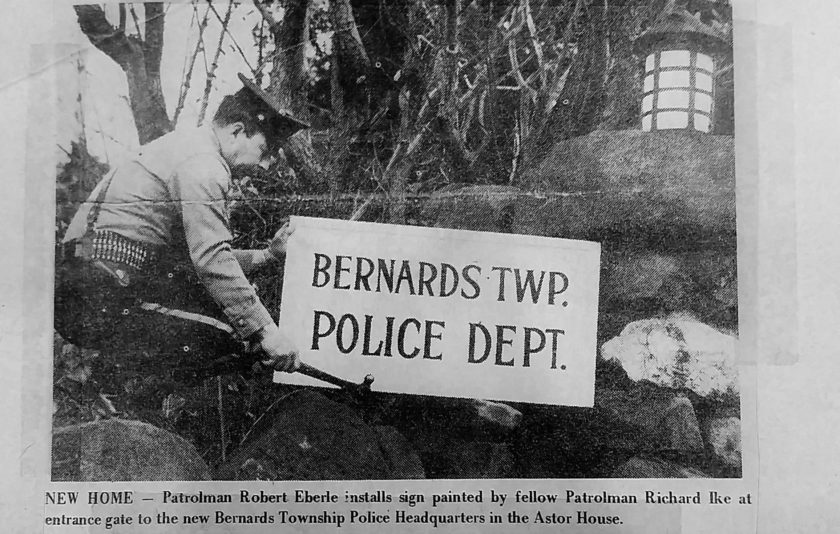
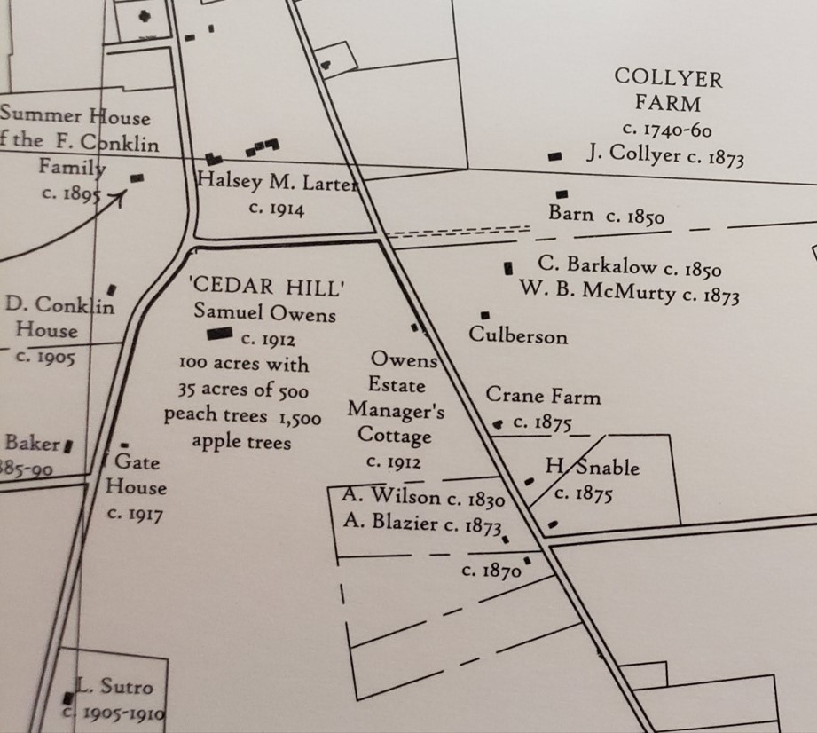
Built in 1912, the Basking Ridge town hall was the home of four families, Owen, Lee, Bissell, and Astor, before it was purchased by Bernards Township for $140,000 in 1968. But what about that beautiful stone wall? Where does it go? Who built it? And the key question: How many stones did it take to create what we’re calling the Great Wall of Basking Ridge? Our researchers had a new mission: to find out more about this local iconic landmark.
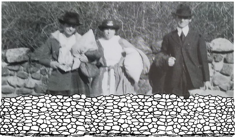
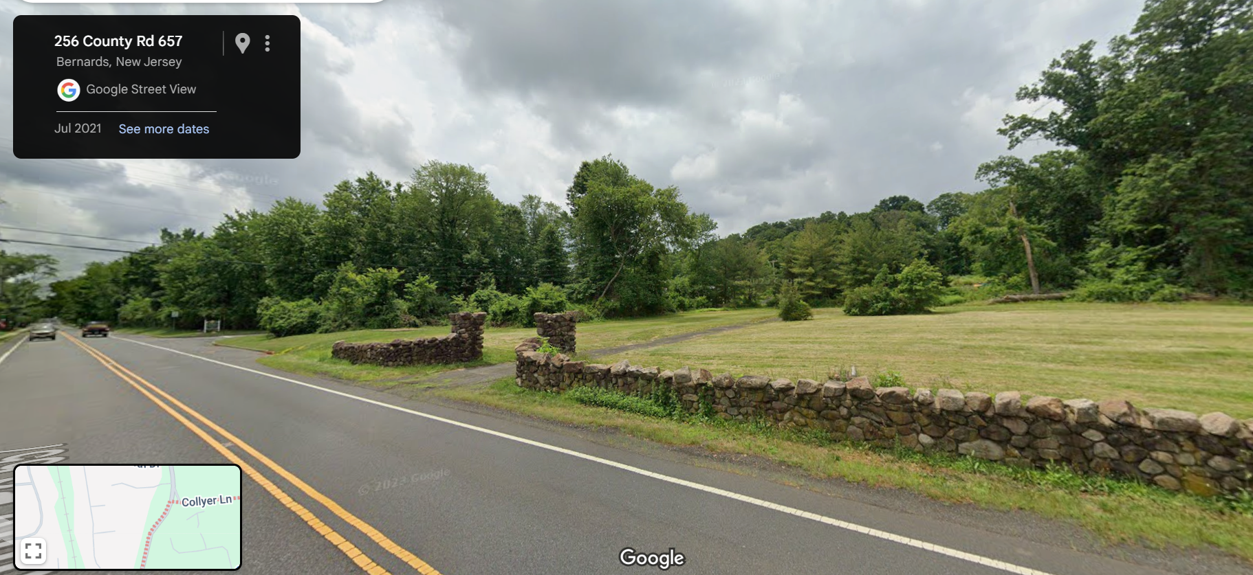
We started by looking at an old survey of the Astor Estate. I guess it’s as good a place to start as any. We don’t know who built the wall, when it was built, or who built it. We learned where the stones came from—what is now the Lord Stirling Stables grounds, which used to be part of the Astor farm.
Similar Stones? More Stones…
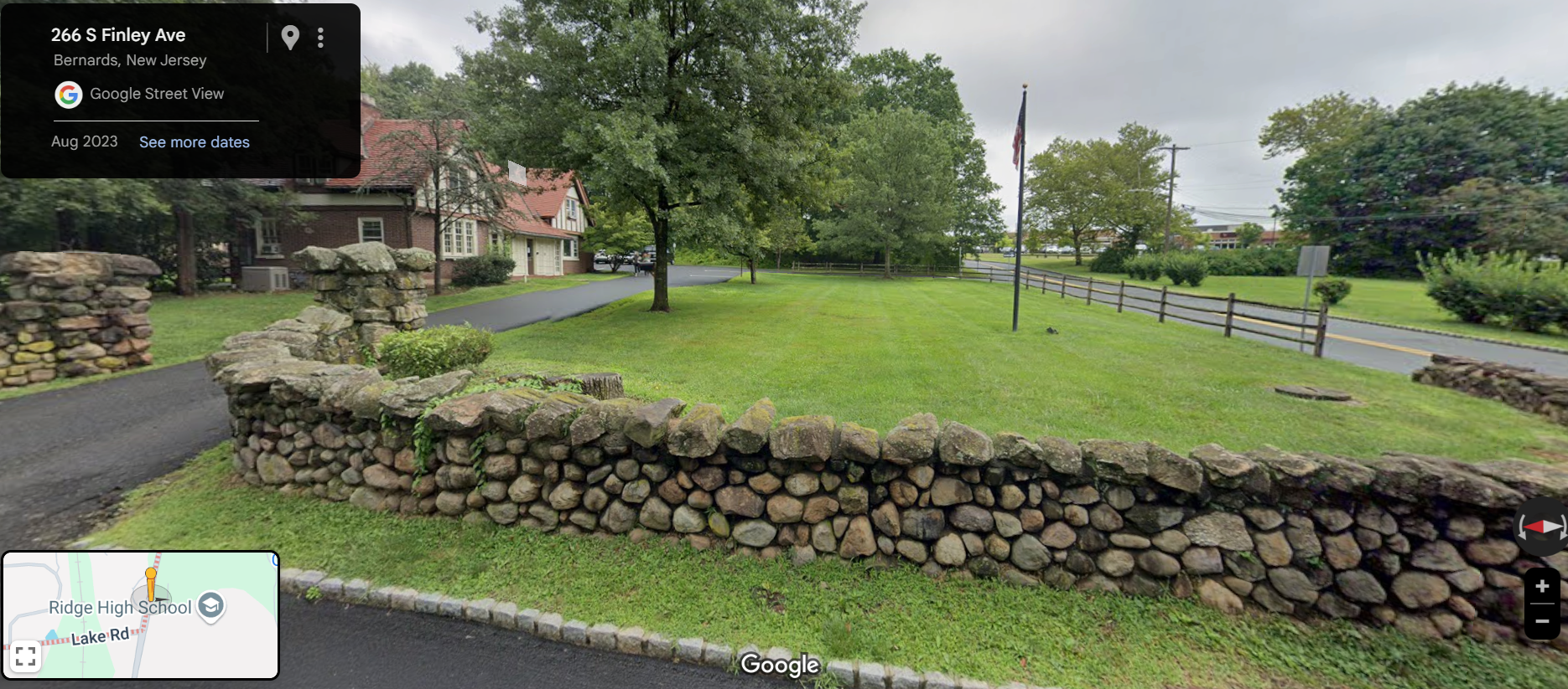
Researchers identified a clue when they uncovered a story about another stone structure they researched years ago, the Bishop Janes United Methodist Church on South Finley Avenue. The stone edifice replaced a frame church built in 1853. The minister and congregation members hauled stones from the fields east of South Maple Avenue to form the outer walls of the sanctuary.
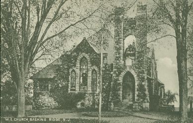
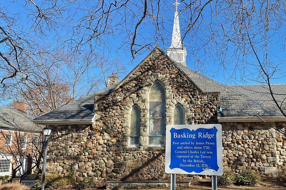
The Bishop, returning after an absence at the Western Conferences, heard the pastor’s statement and said, “I will help you tomorrow.” Early the following day, as the pastor looked out of his study window, the Bishop was seen driving a double team of oxen, drawing a large cart loaded with stones which, with his own hands, he had gathered from the top of the mountain more than a mile distant (the area now known as Lord Stirling Stables). He invited the pastor to join him. For three days, they worked together in this way, carting stones.
Edmund Janes History – See story
So, we ran a few numbers based on a few assumptions….. and here’s our guess:
IF our assumptions are sound and our math is correct, estimating 23,718 sq feet of stone and there are two stones per sq. foot, we’re guessing there are 49,835 fieldstones making the Great Wall of Bernards Township.
Someone please check our math – we’re researchers, not engineers. Now you guess – prizes at stake!
Make Your Guess Yet?
Submit your guess below
for a chance to win a BR sticker and magnet pack.

FYI, we also asked the Ridge High School math department and student body to prepare a more precise calculation. We will see if they come back with an estimate.

History Tidbits
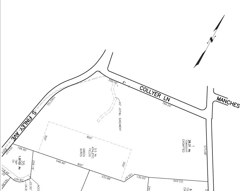
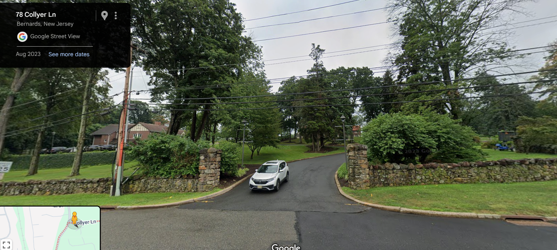
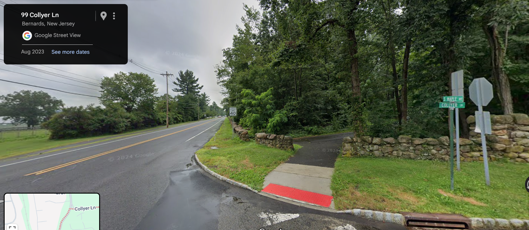
- Cedar Hill Road street name was changed to Collyer Lane in 1952
- Collyer was a farm where today’s Lord Stirling Park sits, just at the end of Collyer Lane and Maple Avenue.